With our guides you will be able to personalize duration and difficulty of the routes based on your own wishes and walking pace. In a few clicks you can create your personalized hiking guides. Choose your starting point, your arrival point and, if you wish, even a middle point where to take a break.

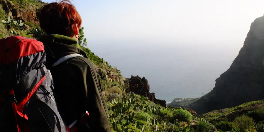
Three beautiful stages over a distance of 40 km’s – hiking difficulty: medium – that will make you discover the rich biodiversity of the island. It goes from San Sebastian to Vallhermoso, passing through the fantastic belvedere De Degollada de Peraza, through A Chipude and the wonders hidden in the Natural Park Garanojay.
Map of The path Cumbre de La Gomera
Our guides
Plan your route with the The path Cumbre de La Gomera App
Download or print the PDF guide of The path Cumbre de La Gomera
The Forwalk paper guide is an A5 format mini-book with all the information on your chosen paths, the detailed maps, the list of hotels and much more. It is very easy to consult and to carry along during your trip. This guide is completely personalized to your needs and made available to you digitally (Acrobat Reader PDF file), to be accessed through smartphones and tablets or printed by you. You can also order it already printed in color on glossy paper, and delivered to you as a finely bound book.
Download the gpx routes map of The path Cumbre de La Gomera
GPX tracks are maps that you can download on GPS device to take with you on your walk. Our GPX tracks include routes with details of places such as shops, restaurants, lodgings, drinking fountains and springs.
Our GPX tracks are tested on the following devices : Garmin ETREX 22x, Garmin eTrex Touch 35, Garmin Oregon 700, Garmin GPS MAP 66